As a new agent, I had the chance to win a big listing - the biggest I ever had. It was a beautiful home with great views. I studied and prepared every price comparison and data point. I even brought a more experienced agent with me. At the listing presentation, the homeowner asked me one simple question. Turning around in his expansive living room, he pointed at the mountain behind him and asked, "what's the name of that mountain?" I didn't know, and neither did my more experienced backup. Needless to say, I didn't win the listing.
That moment is when I learned a very important lesson:
mountains matter.
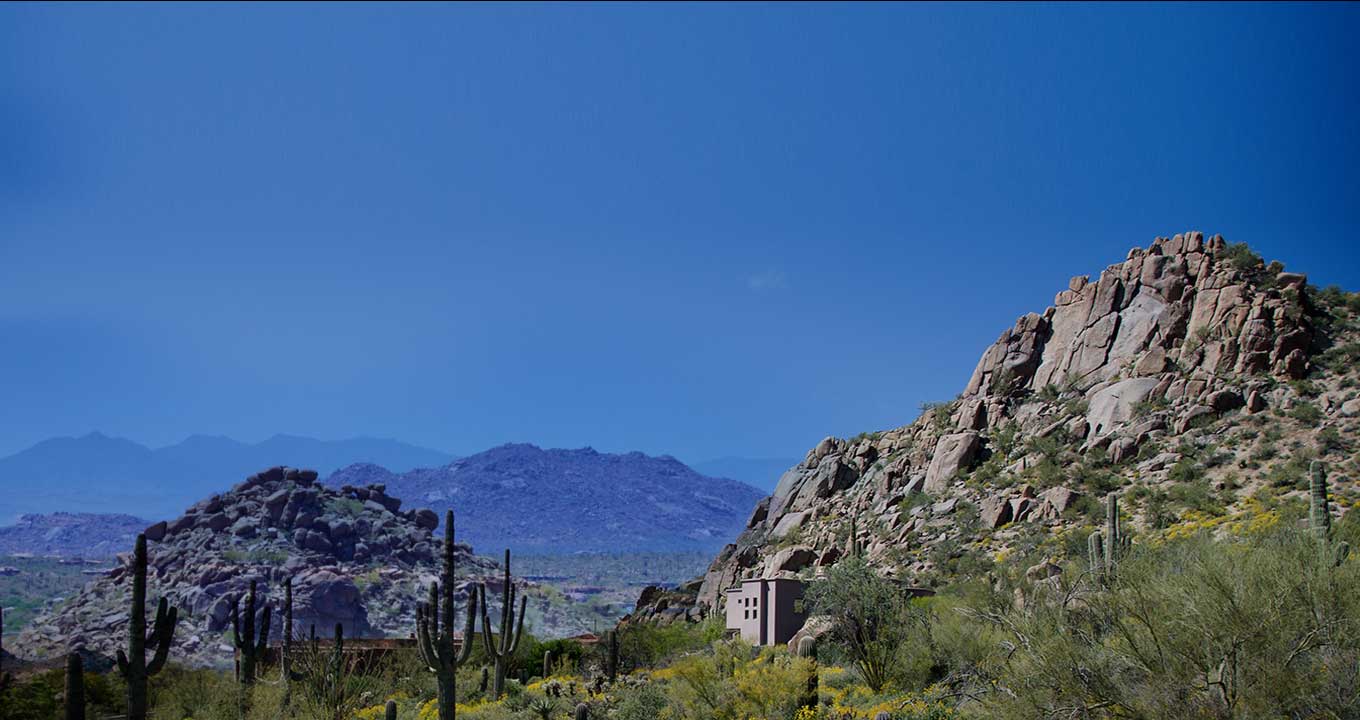
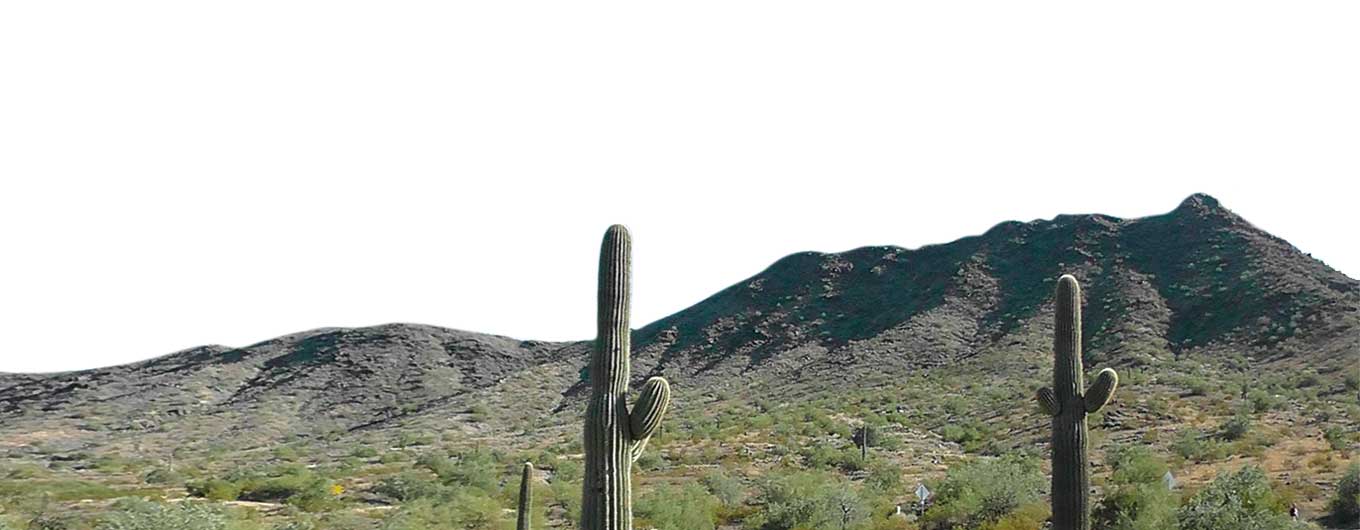
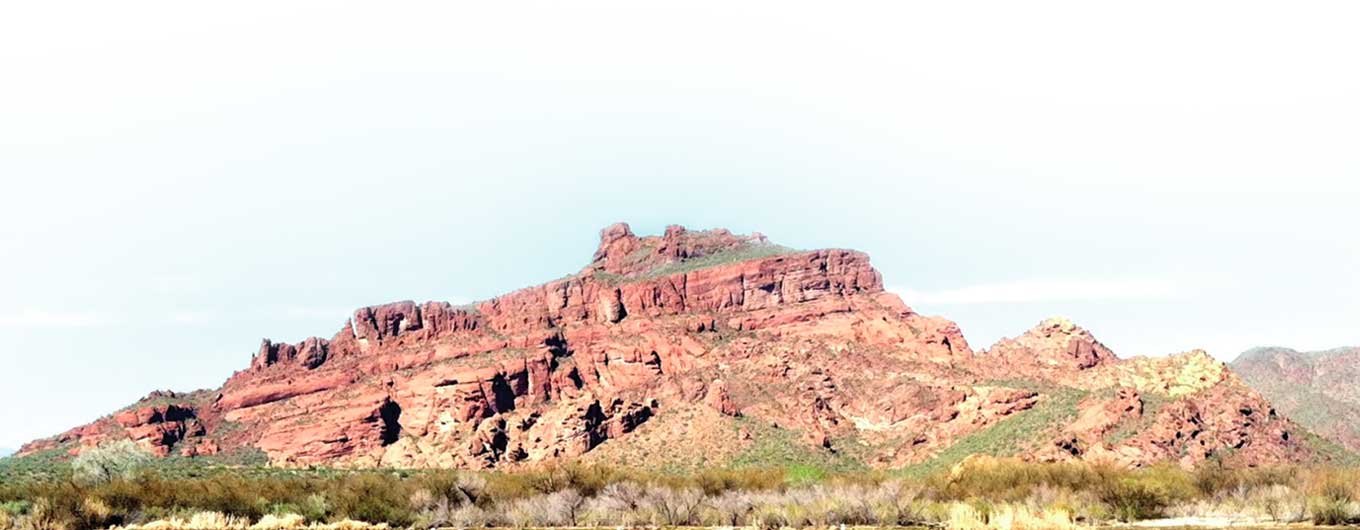
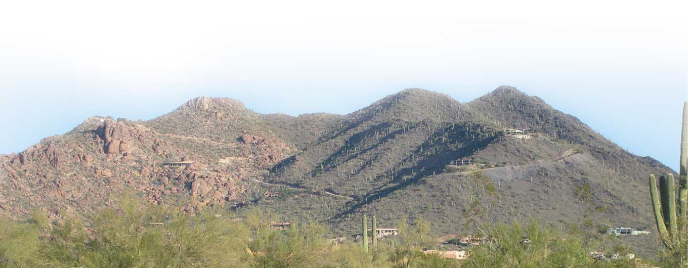
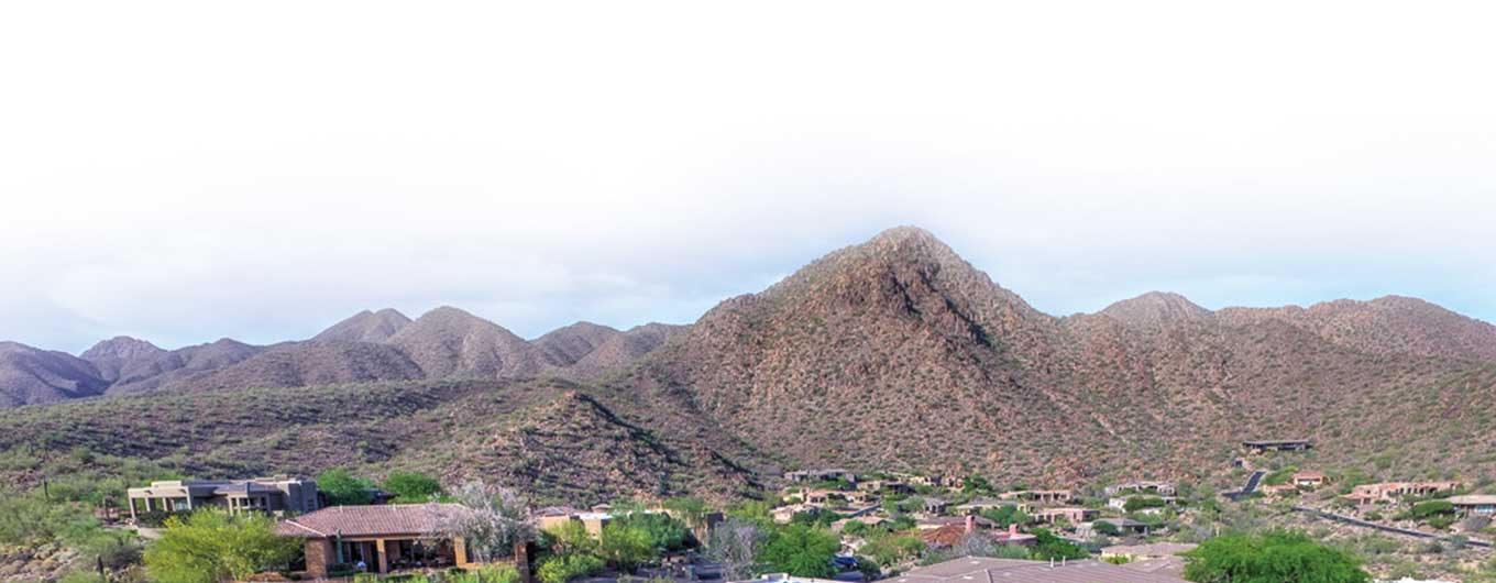
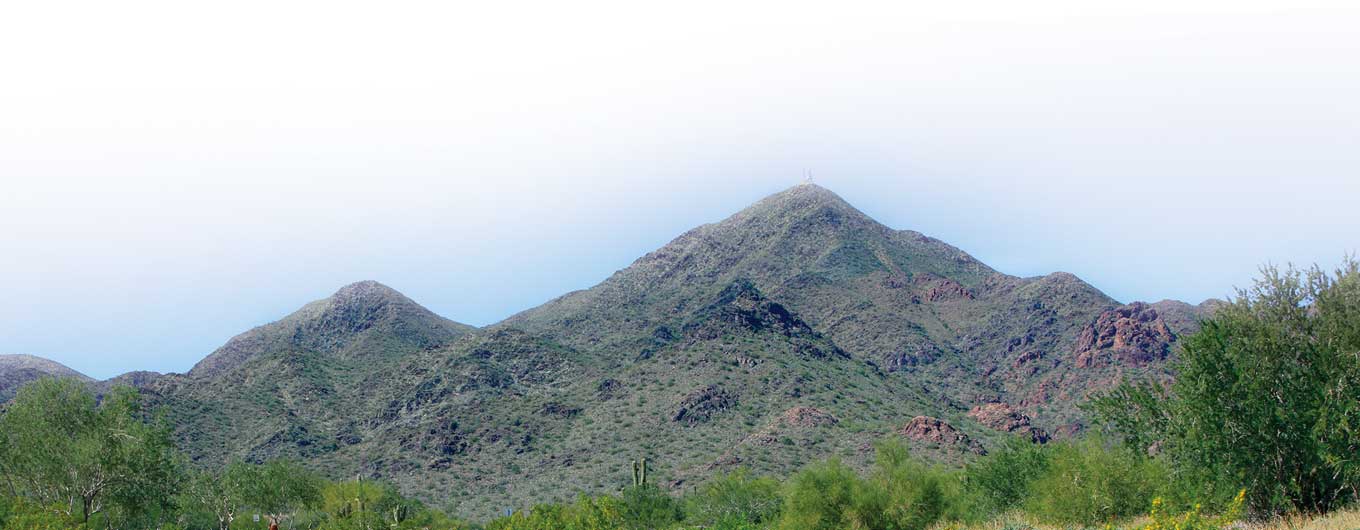
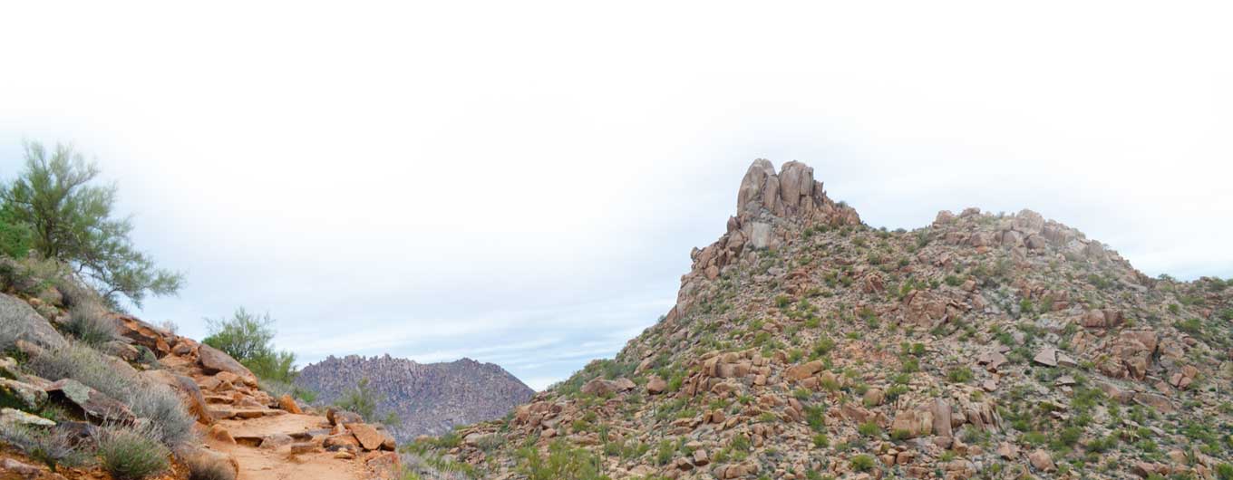
To some people mountains are just piles of rocks. But to a homeowner or potential home owner they are a distinct geographic treasure that gives our Valley visual character and amazing views. Being mountainside can also mean a huge premium in home value.
But how much value does proximity to a mountain add? That is a question that has vexed buyers and sellers forever. For landmarks that define our Valley, one might assume that there is a trove of research and data on how these amazing geographical features influence real estate pricing. As it turns out, there is a surprising lack of information out there on the subject. Of course, being the curious types, my team and I decided to change that.
Months later, after comparing maps and topology by hand and pouring over reams of listing data helpfully provided by the folks at Fidelity National Title, we have answered two important questions that have never truly been resolved:
1. What's the "value" of some of the Valley of the Sun's most notable mountains?
2. What's the price difference between homes that are "on" a mountain versus "off" a mountain?
Let's take a look...
First, our methodology. You can always skip down to the good stuff to see where a favorite mountain ranks, but here’s a bit about how we reached our final numbers.
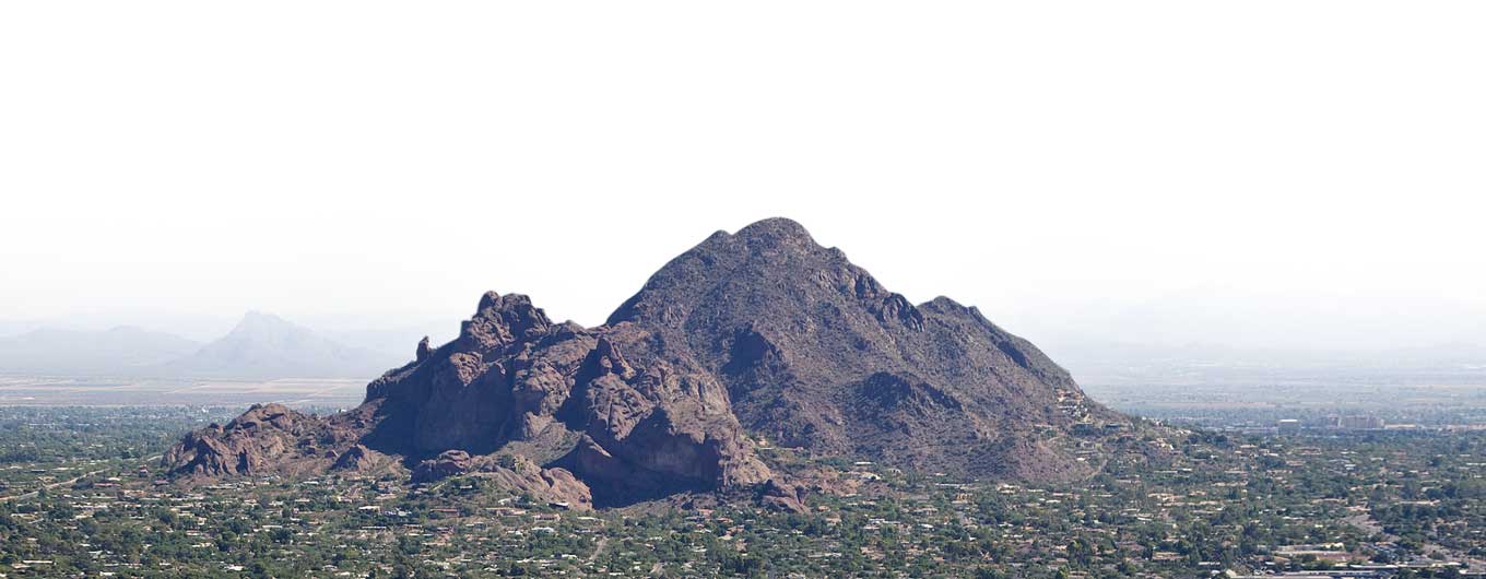
Using a keen understanding of each area gleaned from having lived and sold real estate in the Valley for decades, we created two custom polygon maps of each area. For example, on Camelback Mountain, we drew a careful polygon around the more “elevated” areas of homes on the mountain, and a second polygon surrounding that with less elevation. We followed this procedure for each of the nine mountains, and our trusted partners at Fidelity pulled home sales in each area.
From there, we took the average price of sales for the homes on and off each mountain, and reached our numbers. How did the mountains fare? Keep reading to find out.